 Welcome to the TsunamiZone in California!
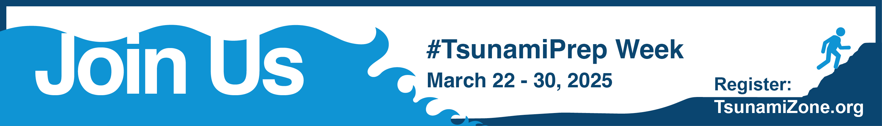
All Californians are encouraged to plan and register #TsunamiPrep activities (at work, school, and home) to be counted as part of California’s 2026 Tsunami Preparedness Week (March 21 – 29) or on any other day of the year!
There are many ways to participate – you can organize or join a group tsunami walk, attend an in-person lecture or an online webinar, find out if you are in a tsunami hazard zone, update your “Go Bag,” or many other options.
View or add to a list of events open to the public
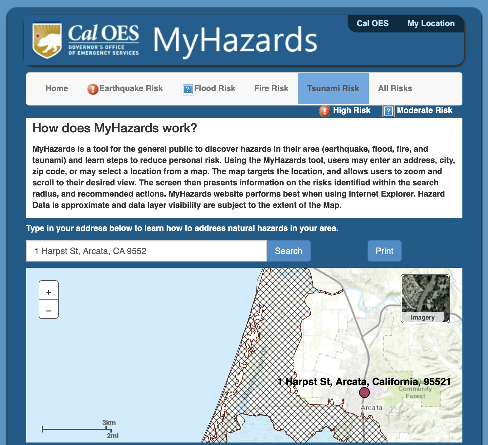
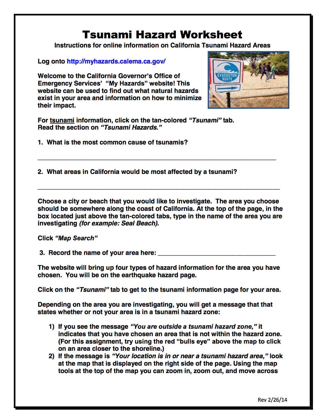
1) CalOES MyHazards Tool
Learn more about the risk for tsunamis and other natural hazards (including earthquakes, floods, and fire) in your neighborhood, and how to reduce your risk at MyHazards, a tool provided by the California Governor’s Office of Emergency Services.
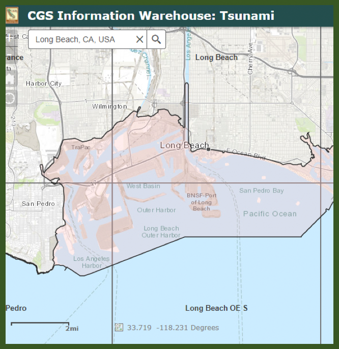
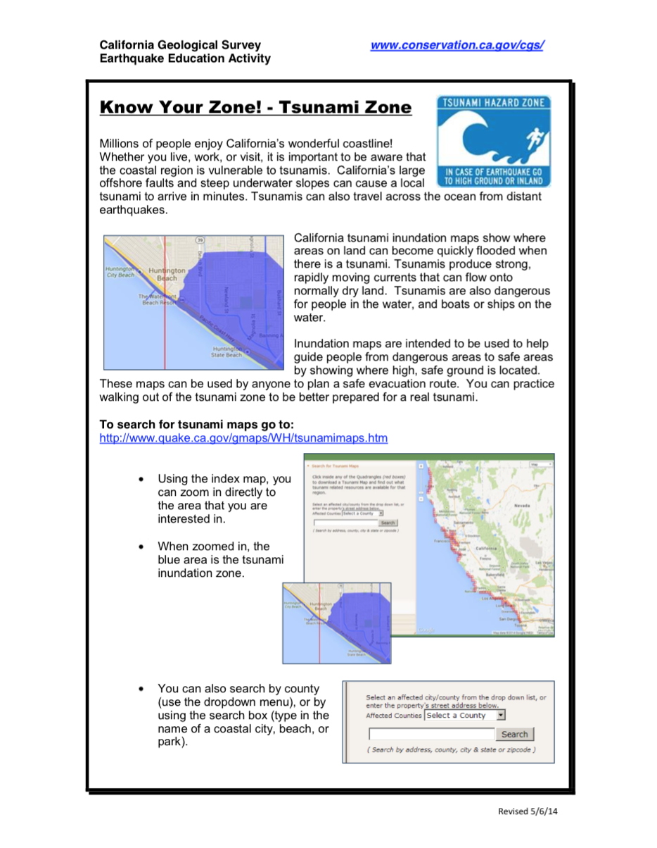
2) CGS Tsunami Hazard Maps
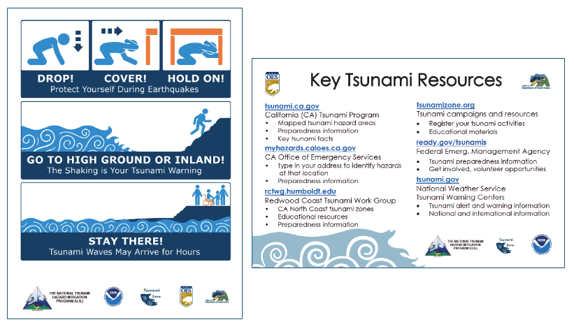
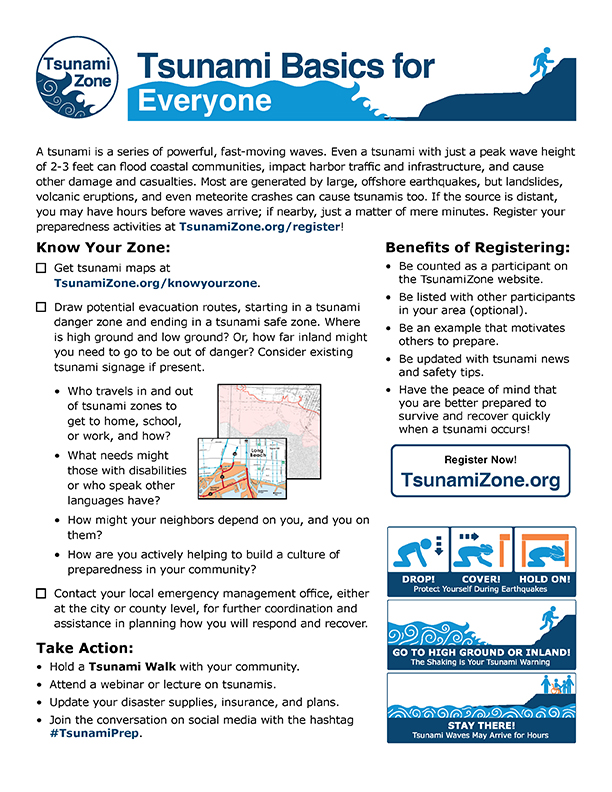
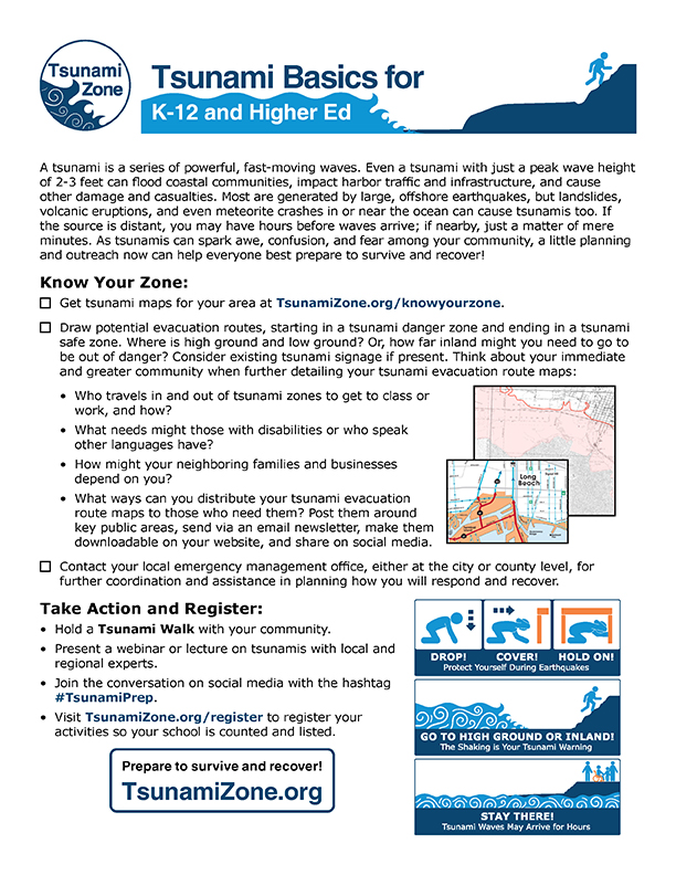
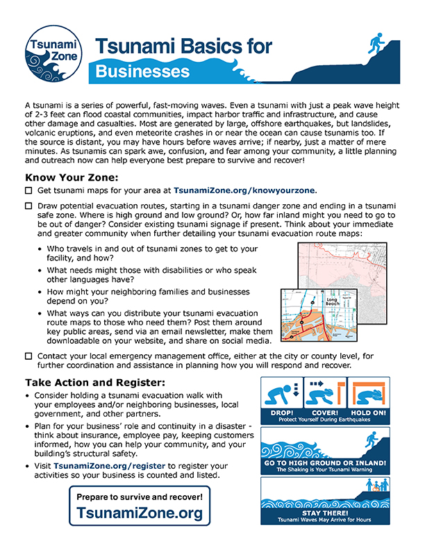
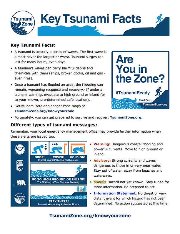
California tsunami hazard maps show where areas on land can become quickly flooded from a tsunami’s waves. Tsunami hazard maps are intended to be used to help people plan how they can get from dangerous areas to safe areas by showing where high, safe ground is located. These maps can be used by anyone to plan a safe evacuation route. You can practice walking out of the tsunami zone to be better prepared for a real tsunami. CGS has also developed an easy to use California Tsunami Preparedness Guide for the public. You can practice walking out of the tsunami zone to be better prepared for a real tsunami. For more information about tsunamis, including a website about the impacts of 2011 Great East Japan Earthquake and Tsunami in Japan and California, please visit the CGS Tsunami Website at tsunami.ca.gov
3) Preparedness Resources
A collection of tsunami preparedness materials specific to California is listed below. You may want to also access our global resources page for more information.
– California Geological Survey Tsunami Program
– Cal OES Tsunami Hazards Page
– Redwood Coast Tsunami WorkGroup
– Tsunami Postcard (PDF)
How to Plan a Tsunami Walk!
Maritime Tsunami Preparedness
| Tsunami Basics for Everyone | Tsunami Basics for K12 and Higher Education | Tsunami Basics for Businesses |
 |
 |
 |
| Tsunami Walk Guide | Tsunami Key Facts |
 |
 |
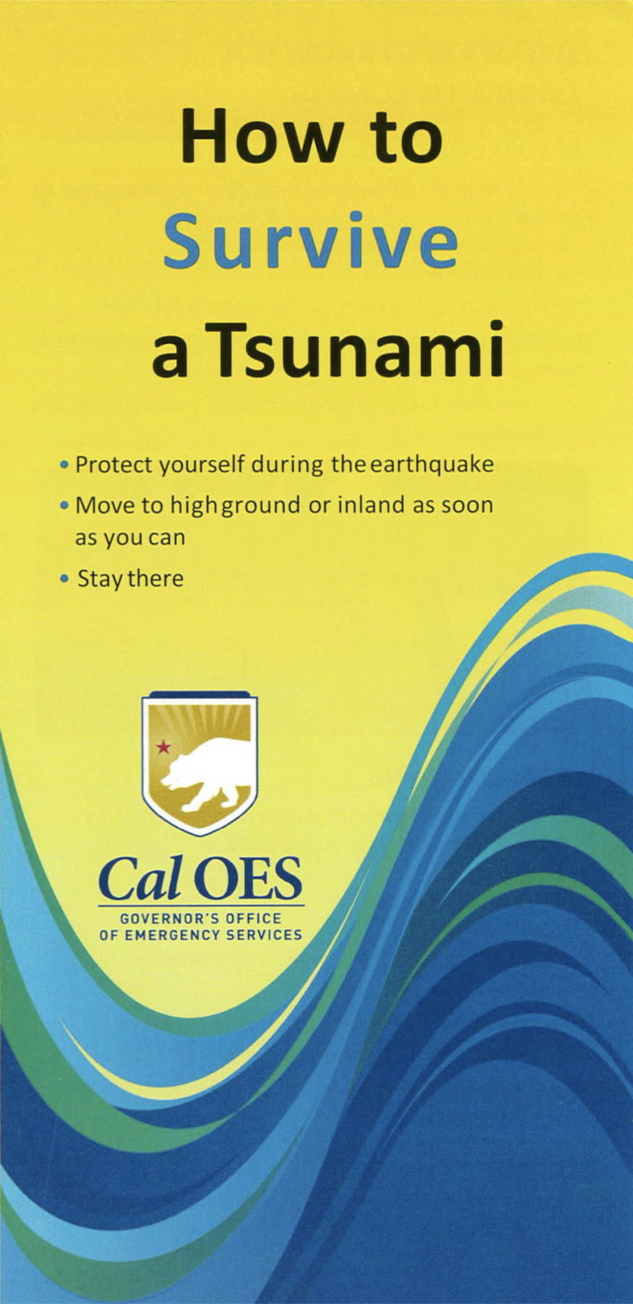
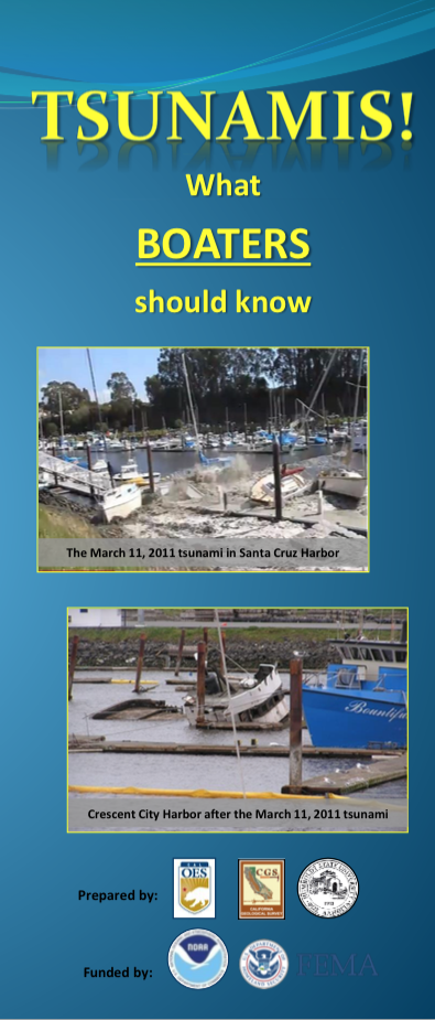
| Cal OES Tsunami Brochure (PDF) | TSUNAMIS! What Boaters Should Know (PDF) |
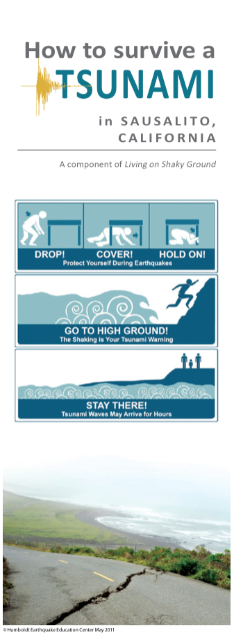
Sausalito Tsunami Brochure (PDF) |
 |
 |
 |
Poster: California Tsunami History
4) Educational Videos
Tsunamis: Know What to Do!
Tsunami Preparedness in Southern California
Tsunami Preparedness in Central California
Tsunami Preparedness in Northern California
Brings Two Cities Together
(from the City of Los Angeles)
Select your area for local resources: